This work is funded in part by the IEHS Digital History Seed Grant.
There are a million ways to read a historical source, and I have been interested in early 19th-century female preachers for so long that I have read their memoirs using many tactics. Close reading, distant reading, focusing on dates, names, or places; with an eye towards theology or considering that published memoirs are ‘selling’ a certain narrative of religion. Though the bulk of female preaching memoirs that I use are digitized, often available on Google Books or through university databases, none are machine readable. As I have continued to study these women, my historical questions have changed, but one thing has not: my interest in how these women itinerated, or traveled, to find preaching opportunities. In fact, these women travel as much, if not more, than they preach.
I have mapped data from these preaching memoirs before, seen here on an ArcGIS StoryMap, but as I progressed through my doctoral program and developed more digital humanities skills, I sought a more in-depth project. After learning about TEI at DHSI 2024, I realized that if I encoded the memoirs, with an emphasis on people and places, I could extract that data from the memoirs for network analysis and mapping. But, by doing it in this manner, I could also make the XML documents available for other scholars who could use the sources to explore their own queries, or even do a more traditional text analysis project, such as sentimental analysis.
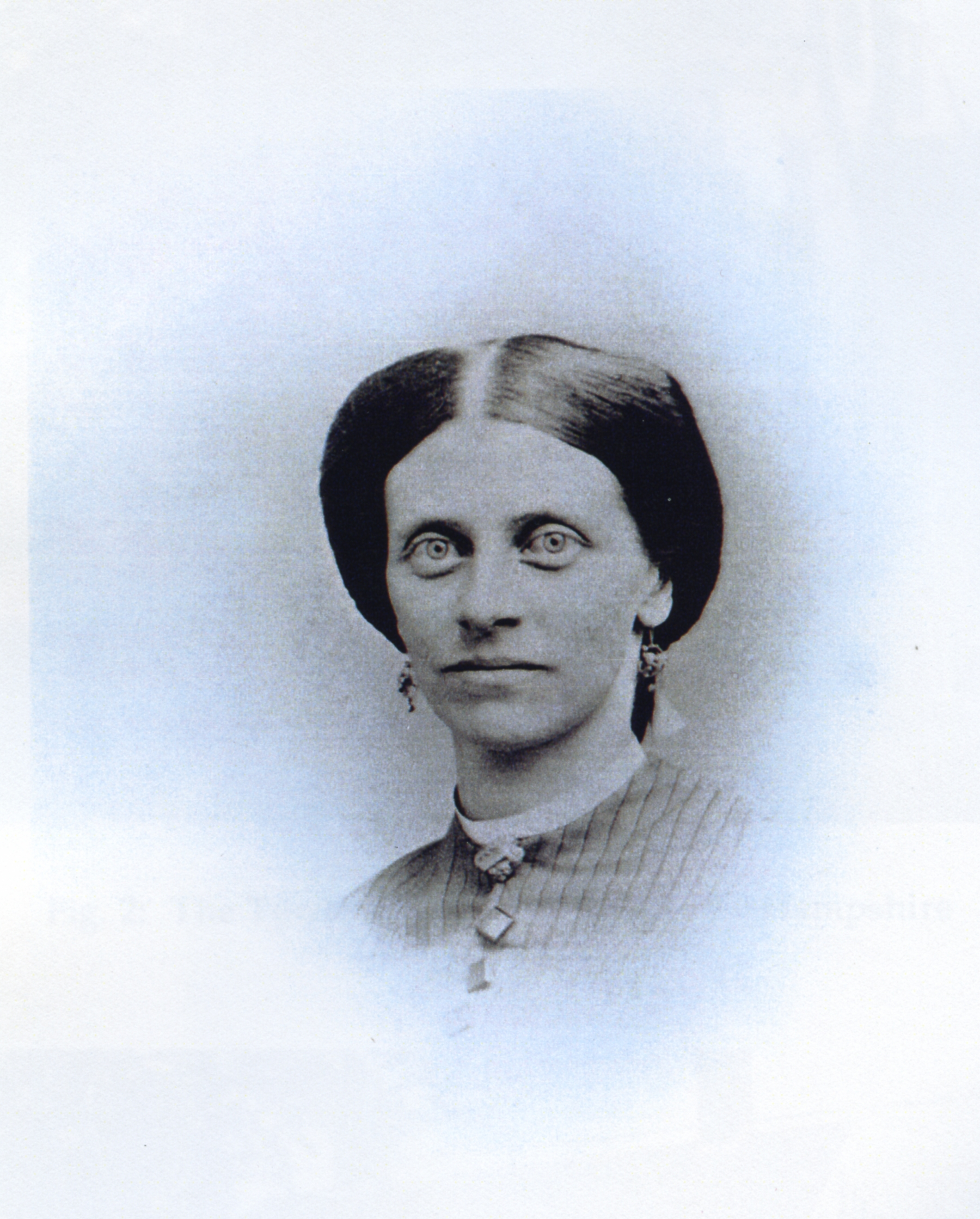
After receiving the grant from the IEHS in December of last year, I have encoded approximately 100 pages from the preaching memoir of Nancy Towle, entitled Vicissitudes Illustrated, in the Experience of Nancy Towle, in Europe and America, published in 1833 and found digitized on Google Books. I picked Towle for a few reasons: she authored her own memoir, and itinerated for ten years (longer than most other itinerant female preachers), I used her memoir in the above StoryMaps that acted as a prototype, and she travels abroad to Canada, Ireland, and the United Kingdom, while also covering a good bit of ground in the United States. Her story works as an exploration on what it means to preach as a woman, and how people and place affect one’s ministry. Further, the distance that she travels aligns with IEHS’s mission of exploring migration, with a specific emphasis on religious travels and migration.
As I am interested mostly in place and people, I have four TEI documents that comprise this project. The first file contains the encoded memoir itself, and then three files that contain references to historical people, Biblical figures, and geographical data. I am following the workflow presented in the DHSI course I took on TEI and text encoding more broadly. By this, I mean that I am using [thing]-ographies to encode words with specific information. In my case, I am using three separate thing-ographies to separate different queries. I have two related to people, or personographies, one with actual historical actors included in the memoirs, and another with Biblical references. The third thing-orgraphy is a placeography with geographical data.
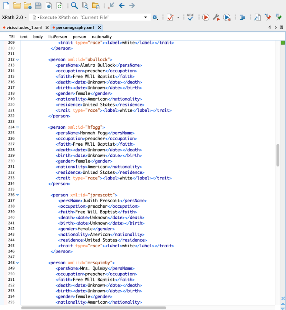
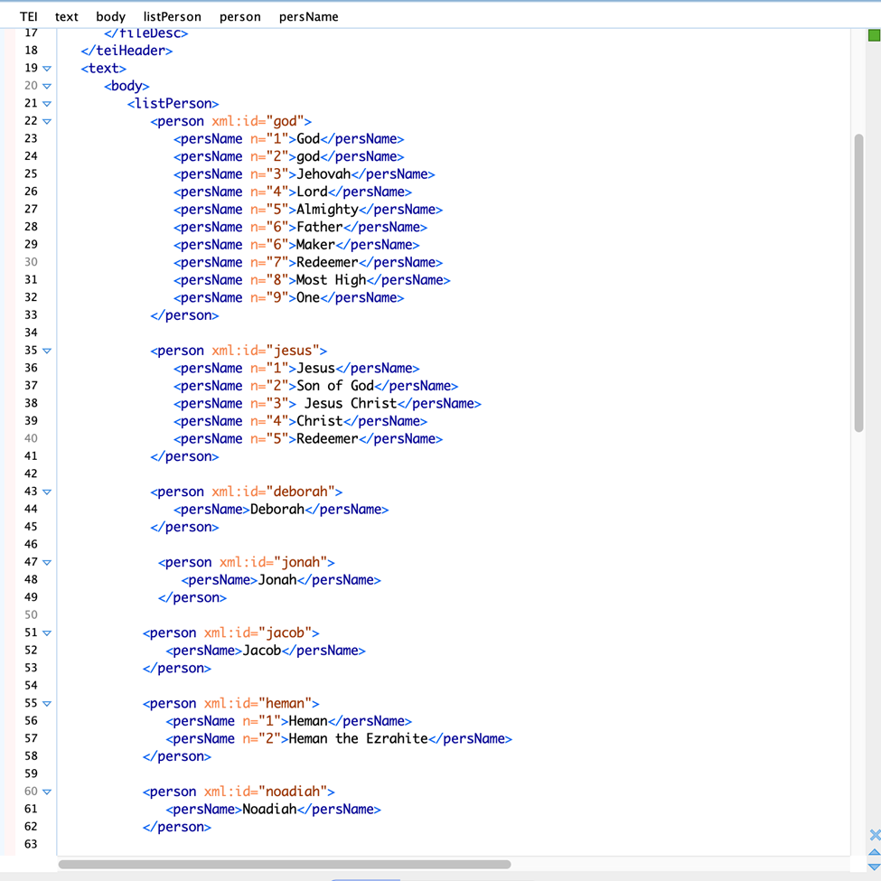
The first screenshot shows the personography for historical actors. This includes female preachers, male clergy, supporters, friends and families. By doing a personography, I can include demographic information about each historical actor, such as their race, occupation, country, denomination, etc. Within the text of the memoir, I can then refer back to the personography so that each reference to a person will be encoded and can be extracted.
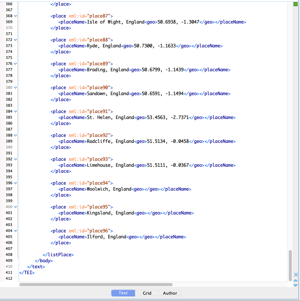
My final [thing]-ography is a placeography. Each town is thus encoded with latitude and longitude information, which is then encoded in the memoir XML file.
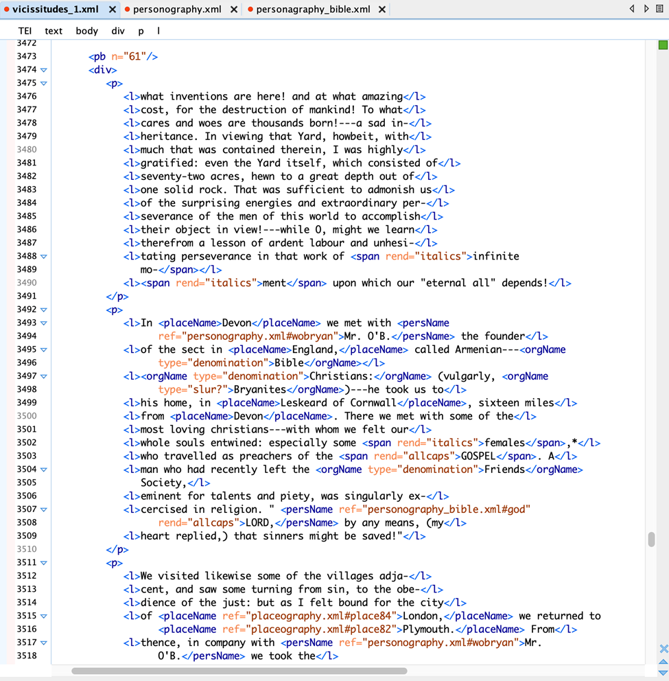
As I have referenced, the main file is the encoded memoir transcript itself. This includes other data that I can encode, such as references to dates or denominations, as well as including information about how the text itself should look (italics, capital letters, font, etc). This will give an accurate rendering of the original memoir and its appearance once in a platform such as TAPAs (which is currently being overhauled, so it is not linked here).
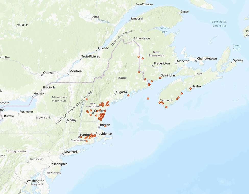
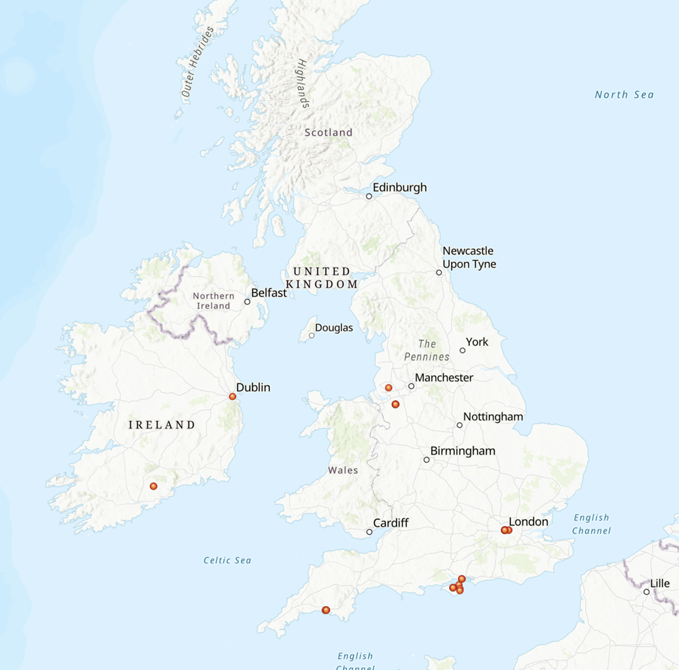
The next phase of the project is extracting the geographical data and mapping it. For this, I specifically plan to use ArcGIS Pro. RIght now I have 96 places that Nancy Towle has preached across the United States, Canada, and the United Kingdom. The ArcGIS map (done using lightweight tools) are shown below as a preview!